Emerging Uses of Drones in Bangladesh – Surveying, Agriculture, and Disaster Management

Dial Chowdhury
19 October 2025 . 10 Minute Read
Introduction
Drones are no longer experimental gadgets—they are becoming essential tools in Bangladesh’s development and innovation ecosystem. Whether flying over fields to assess crop health or mapping flood-prone areas after a cyclone, drones are transforming how professionals collect data, plan infrastructure, and respond to emergencies.
With affordable drone technology, increased STEM education, and the rise of local startups, Bangladesh is quickly integrating drones into critical sectors like surveying, agriculture, and disaster management.
This blog explores these emerging applications, why they matter, and how ICT Olympiad Bangladesh students can prepare to join this growing technological movement.
Theoretical Framework: Why Drones Are Changing the Game
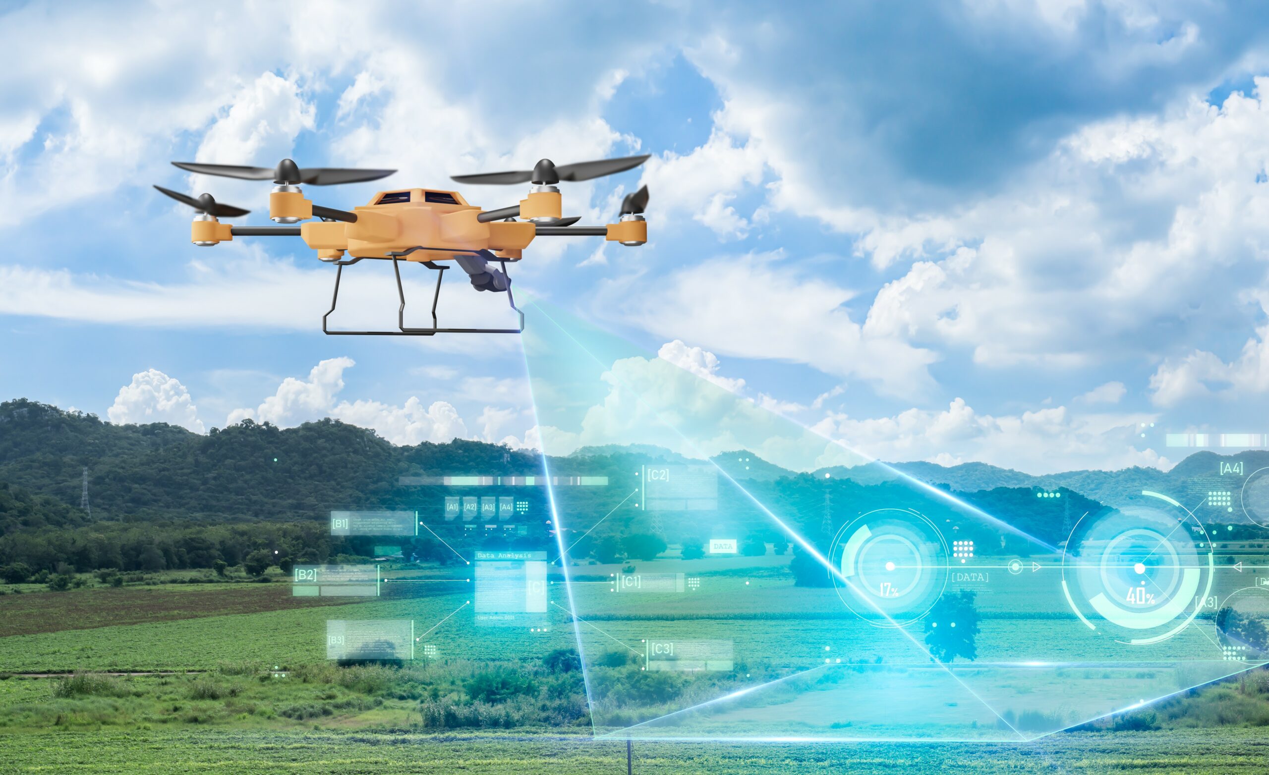
A drone, or Unmanned Aerial Vehicle (UAV), is an aircraft that operates remotely or autonomously using GPS, onboard sensors, and software-controlled flight paths. These devices collect visual and environmental data that can be processed for decision-making and planning.
In modern industries, drones are central to what experts call Data-Driven Aerial Operations (DDAO) — using drones not just for flight, but for data collection, processing, and application.
Why Drones Are Ideal for Emerging Uses
| Factor | Description | Key Benefit |
|---|---|---|
| Speed and Mobility | Drones cover large areas quickly | Reduces time in field operations |
| High-Resolution Data | Equipped with cameras, LiDAR, and sensors | Produces accurate maps and analytics |
| Reduced Human Risk | Ideal for hazardous environments | Protects workers in disaster zones |
| Cost-Effective | Lower long-term costs than manual or aerial surveys | Improves accessibility for small businesses and government projects |
These features make drones a core part of Bangladesh’s digital transformation, supporting Smart Agriculture, Smart Urban Planning, and Smart Disaster Response.
Tools and Methods: How Drones Are Used in Each Field
1. Surveying and Land Mapping
-
Tools Used: GPS-enabled drones, LiDAR sensors, high-resolution cameras
-
Method: Drones fly over areas and capture geo-tagged images, which software converts into 2D maps or 3D terrain models.
-
Why Important:
-
Speeds up land measurement and planning
-
Enhances accuracy in road and bridge construction
-
Reduces manual surveying errors
-
? Example: Used by government agencies like RAJUK and private engineering firms to design and monitor urban projects.
2. Smart Agriculture
-
Tools Used: Agricultural drones with sprayers, NDVI cameras, and thermal sensors
-
Method: Drones perform precision farming tasks, including pest detection, fertilizer spraying, and plant health analysis.
-
Why Important:
-
Saves time and reduces chemical waste
-
Helps small farmers manage large farmlands
-
Increases overall crop yield
-
? Example: In Jessore and Bogura, startups such as Agnibot train farmers to use low-cost drones that identify crop diseases and spray evenly—three times faster than manual methods.
3. Disaster Management
-
Tools Used: Thermal cameras, live video streaming systems, and night-vision sensors
-
Method: Drones collect aerial data during floods, cyclones, or earthquakes to locate stranded people and assess damage.
-
Why Important:
-
Provides real-time situational awareness
-
Supports emergency rescue and supply delivery
-
Helps authorities monitor embankment breaches and river erosion
-
? Example: NGOs like BRAC and the Bangladesh Red Crescent Society deploy drones to survey flooded regions in Barisal, Satkhira, and Kurigram.
The Cyclone Preparedness Programme (CPP) is also considering drone-based mapping for early damage prediction and risk assessment.
Applications in Bangladesh: Real-World Examples
| Sector | Real Example | Impact |
|---|---|---|
| Surveying | RAJUK’s Drone Mapping of Dhaka (2022) | Improved land-use planning and infrastructure monitoring |
| Agriculture | Agnibot’s Smart Drone Farming in Jessore | Reduced labor and pesticide waste; increased efficiency |
| Disaster Management | Drone Operations by BRAC & CPP | Faster disaster response and real-time situation tracking |
These examples highlight Bangladesh’s progress toward integrating drone technology into both public and private sectors.
Conclusion: A Sky Full of Possibilities
Drones are no longer science fiction—they are practical, data-driven tools transforming Bangladesh’s approach to surveying, agriculture, and disaster response. Their impact is visible in faster fieldwork, improved accuracy, reduced risks, and enhanced decision-making.
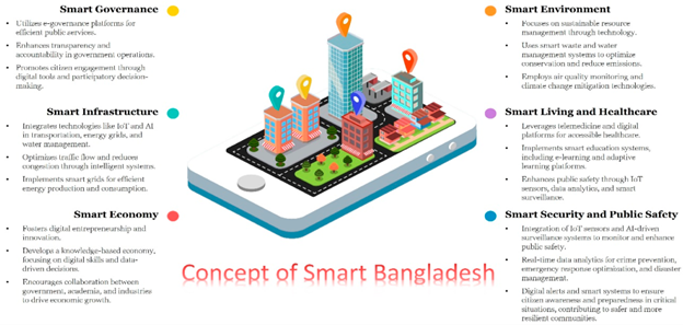
For ICT Olympiad Bangladesh students, drones represent the perfect blend of engineering, coding, and creativity. By learning about flight systems, sensors, and data analytics, you can develop real-world solutions that contribute to the Smart Bangladesh Vision 2041.
Studying drones isn’t just about technology—it’s about shaping the future of innovation, safety, and sustainability in your country.
? Practice Tasks for Students (Class 11–University)
1. Field Research Task
Interview a civil engineer, farmer, or NGO worker who has used drones.
Prepare a short report describing how drone data improved their work.
2. Innovation Challenge
Design a drone-based solution for a real problem in your community, such as:
-
Mapping garbage collection zones
-
Monitoring irrigation in rural areas
-
Disaster relief package drops
3. Tech Quiz
List the main components of a surveying drone and explain their functions:
-
GPS module
-
LiDAR sensor
-
Camera and gimbal
-
Flight controller and battery
Key Takeaways
-
Drones combine GPS, sensors, and automation for real-time data collection.
-
They are revolutionizing surveying, agriculture, and disaster management in Bangladesh.
-
Local agencies and startups like RAJUK and Agnibot are leading drone adoption.
-
Students can explore STEM-based drone innovation through ICT Olympiad programs.
-
Drone technology supports the Smart Bangladesh Vision 2041 for a more efficient nation.
Frequently Asked Questions (FAQ)
Q1. What are the main sectors using drones in Bangladesh?
Surveying, agriculture, and disaster management are the top sectors adopting drones.
Q2. How are drones improving agriculture?
They help farmers monitor crop health, spray fertilizers, and analyze field conditions efficiently.
Q3. Are drones used for government development projects?
Yes, organizations like RAJUK and GeoTech use drones for mapping and infrastructure planning.
Q4. How do drones help in disaster management?
They provide real-time visuals, identify affected areas, and guide rescue operations.
Q5. Can students learn drone programming in Bangladesh?
Yes. Several ICT and robotics clubs now include drone assembly, flight simulation, and control programming.
Recent blogs
22 December 2025
7 Min Read